


GARMIN Navionics charts
€259,50
incl. VAT 25.5%
Made in GB
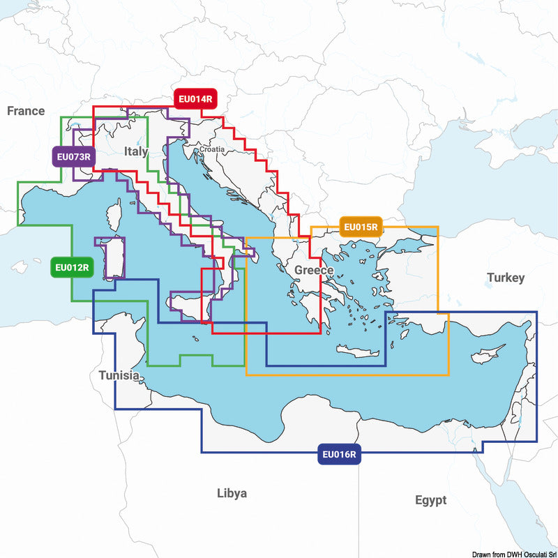
GARMIN Navionics charts are digital navigation chart cards supplied on Micro SD for use with compatible chartplotters and marine displays. They provide detailed coastal and inland waterway mapping to support accurate route planning and on-water navigation.
Select model
GARMIN Navionics + Europe regular
€203,95
GARMIN Navionics + Europe large
€305,95
GARMIN Navionic Vision + Europe regular
€259,50
GARMIN Navionic Vision + Europe large
€425,95
Limited stock — order soon
Free shipping on orders over 100€ · Free returns within 14 days
Specifications
| GARMIN Code | 010-13166-00 |
| Cartography model | Garmin Navionic Vision+ Europe |
| Cut | regular |
| Electronic Support | Micro SD CARD |
★★★★★ Reviews
Customer reviews will appear here once you enable a product reviews app.